Tour Cost: $1,800 (Inclusive of meals, accommodation, and gas and park entry fees.) Excludes tips, drinks and donations).
When in groups, a special discount on the total tour cost will be given as follows:
A group of two, three and four- 10% discount
A group of more than 5- 15% discount
Itinerary
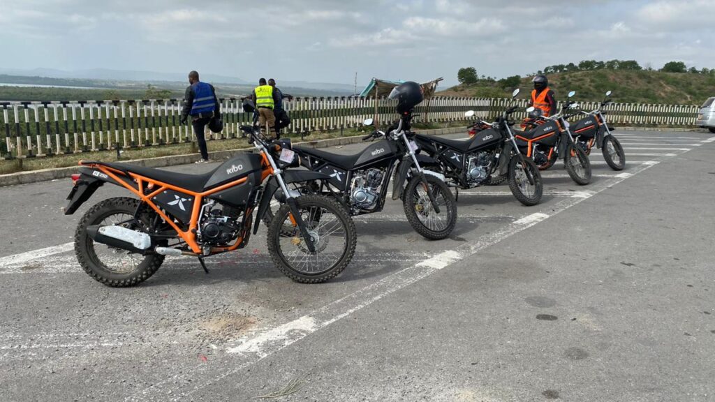
The tour will start at our offices in Westlands, Nairobi. We will hoist our luggage on the bikes, and make sure they are okay to hit the road. We will make sure we have everything we need including tools. A few words of wisdom from our guides will finish this step and we will hop on our bikes and begin the four day adventure.
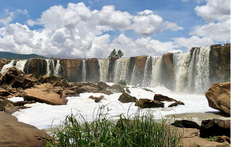
Upon arriving in Thika, we will head to fourteen falls, located a few kilometers out of the city. Fourteen Falls is a spectacular waterfall located in Thika. Here, you can stroll around the rocks at the base, take in the local flora, and soak in the cool spray from the falls. Activities such as boating across the river, bird watching, and fishing are popular too. The stunning landscape is also a photographer’s paradise, with endless opportunities to capture its breathtaking beauty.
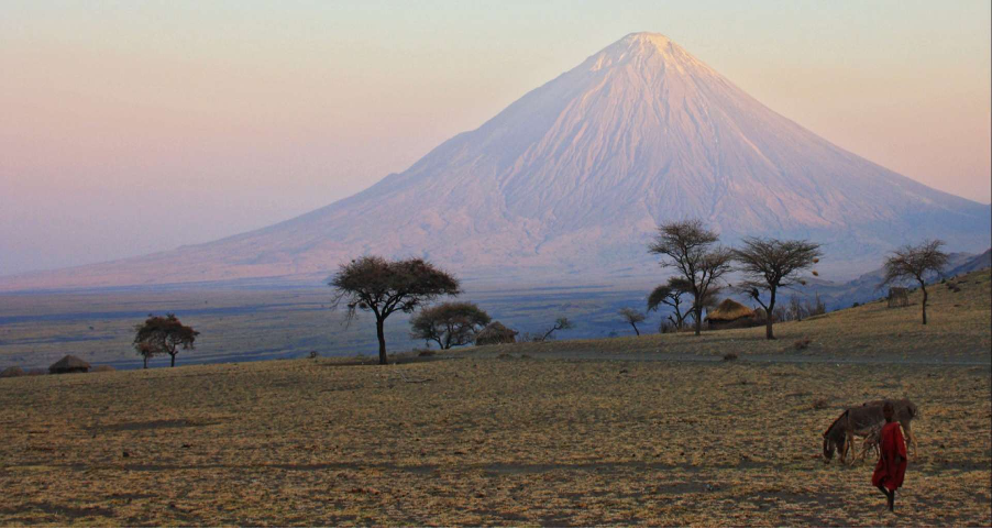
After the views from the amazing water falls, the adventure will continue East of Thika town to Oldonyo Sabuk. Dominated by a small mountain covered in montane forest, the Ol Donyo Sabuk National Park is home to 45 species of birds including the white-browed sparrow weaver, grey- headed sparrow weaver, African pied wagtail, mourning dove, augur buzzard, African hawk eagle and purple-breasted sunbird. Buffalo are the dominant animals in the ecosystem and other wildlife include bushbucks, leopards, olive baboons, aardvarks, porcupines, mongoose, pythons and monitor lizard. The mountain’s summit also offers visitors scenic views of Mount Kenya. We will pass close by since motorcycle riding is not allowed to ride within the conservancy.
From Oldonyo Sabuk, we will head to town and have lunch, rest a little bit, before proceeding. The number of restaurants and hotels is considerable, a guarantee that you will enjoy a delicious meal. We will relax for a while after the meal, before proceeding further east.
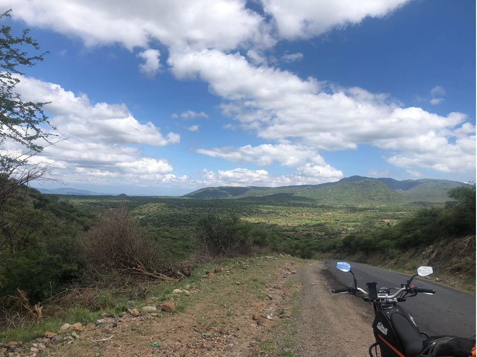
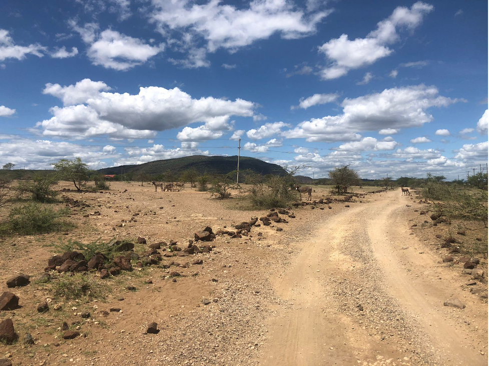
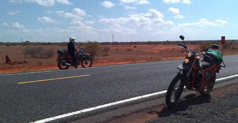
The stretch from Ol Donyo Sabuk to Mwingi town is fun to ride. The vast land stretching for kilometers makes a great view from the comfort of your saddle. The hilly landscape characterized with semi-arid features is mind blowing.
Ukambani region is more of a semi-arid climate, extending to the Northern Kenya counties. We will be stopping along the way to mesmerize as we enjoy the views.
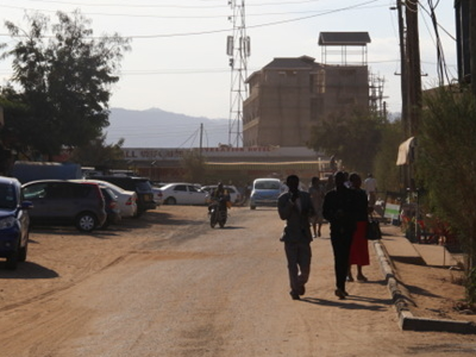
Mwingi is a town in the Kitui County in the Eastern Region of the Republic of Kenya. It has an urban population of 28,970 according to the 2019 census. The town is located along the A3 Road between Nairobi and Garissa, 47 kilometres north of its county capital Kitui, and 200 kilometres (120 mi) east of the capital city of Nairobi.
After a tour of the town, we will head to hotel San Marino, where will spend the night.
After breakfast, the adventure continues. From the hotel, we will head to Kitui town, located south of Mwingi via Kalitini, Mutitu, Zombe and Kyuluni. We will be riding most of the time, traversing this county. The views are amazing, and with the high temperatures experienced in this part of Kenya, the breeze resulting from riding feels good. Kitui is a town and capital of Kitui County in Kenya, 180 kilometres east of Nairobi and 105 kilometres east of Machakos. It covers an area approximately 30,496.4 km squares and lies between latitudes 0°10 South and 3°0 South and longitudes 37°50 East and 39°0 East. The name Kitui means ‘a place where iron goods are made’. The Kamba iron-smiths who settled in the county many years before the colonial period are the ones who named the area Kitui.
After a ride through the town, we will have our lunch in town, relax a bit before proceeding to Wote town in Makueni County.
After having our lunch, we will head further south to Wote. It is a town in Kenya, and the capital of Makueni County in the former Eastern Province. The town has in the past seen rapid development, like other towns which have been made the County headquarters.
From Kitui, we will use both main roads and village roads, to allow you to experience the Eastern upcountry lifestyle.
Afterwards, we will head to Kyosumbunguo hotel, to freshen up, relax and spent the night.
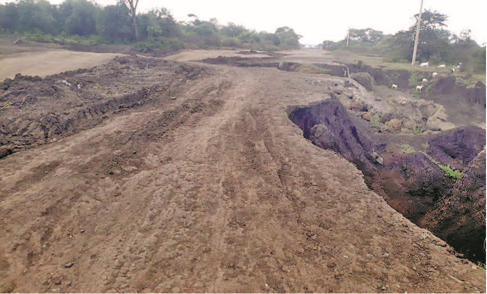
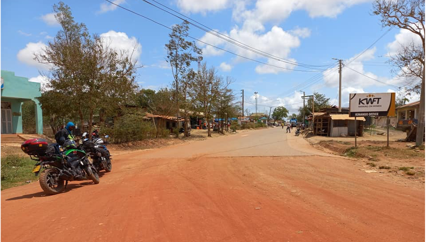
Immediately after breakfast, we will continue with the adventure, riding south to Emali through Kathiani and Kalamba. These stretches are dirt roads, hence requiring you to withstand challenges like sand patches, sharp rocks and the scorching sun. You will need to stock enough fluids to keep you hydrated during the trip. We will however make several stops along the way to enjoy the magnificent views of the semi-arid landscape.
From Emali, we will cross the Mombasa Nairobi highways and continue riding south to Oloitoktok via Kimana. It is a small but growing town in southeastern Kenya, at the border with Tanzania. The town was previously the administrative headquarters of the former Loitoktok District in which it was located. Being close to the border and hosting one of the border posts makes the town an essential destination for tourists from both Tanzania and Kenya.
The stretch is fully tarmac, allowing you to ease your enduro mode and allow in cruising mode. From far, you may be able to spot the tallest mountain in Africa, Mount Kilimanjaro. We will have a short stop in Oloitoktok, have lunch before heading east to Taita Taveta.
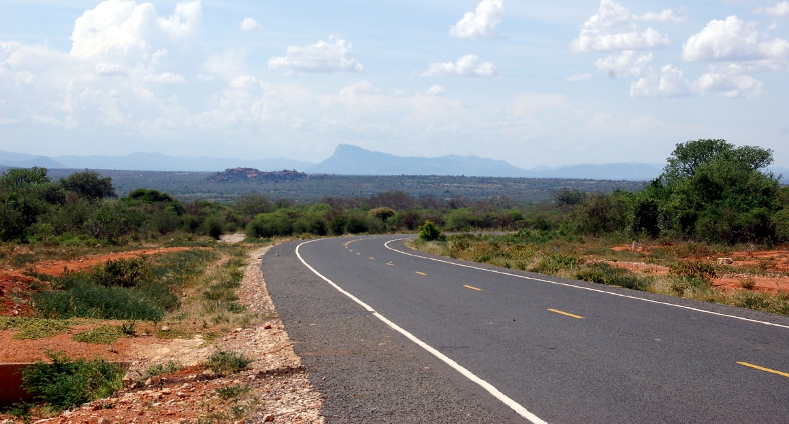
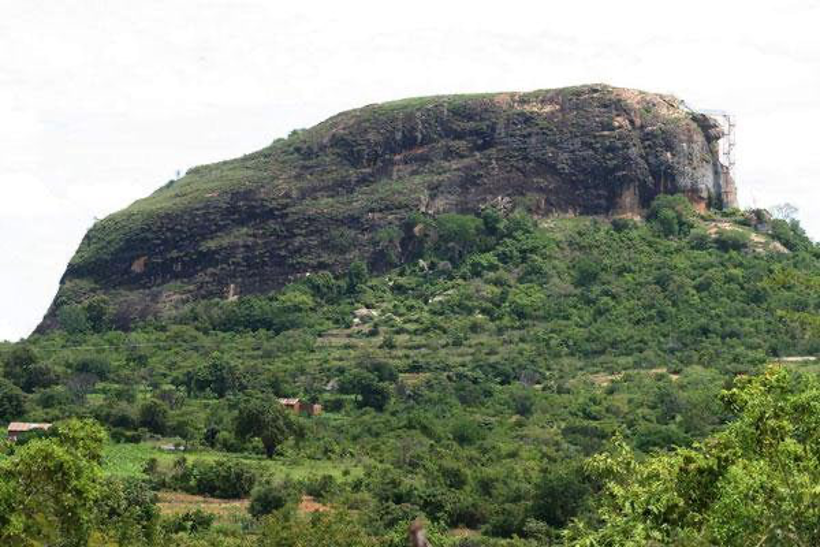
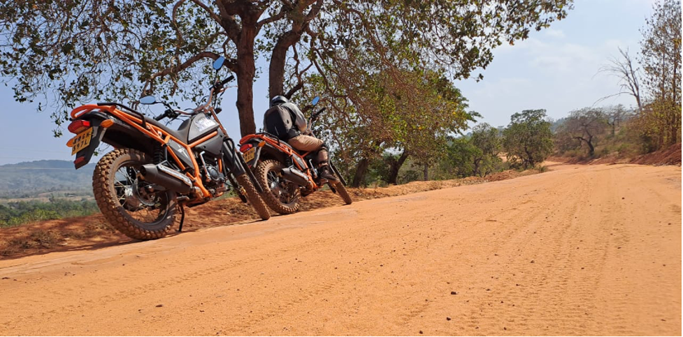
From Oloitoktok, our next destination is Taveta. The road from Oloitoktok to Taveta is not tarmacked. It may get dusty, or muddy depending on the season. Your intermediate riding skills in this regards are necessary. However, the bikes are made to endure such terrain, hence nothing to worry about. Some of the hardships on the road include steep climbs, sharp stones, sand patches, sharp corners and crossing livestock. While riding, you will be able to spot the Taita Taveta hills from a distance. They are a mountain range located in the Taita-Taveta County in south-eastern Kenya. The hills consist of three massifs: Dawida, Sagalla in the southern side of Voi Township and Kasigau in the south near the border of Tanzania.
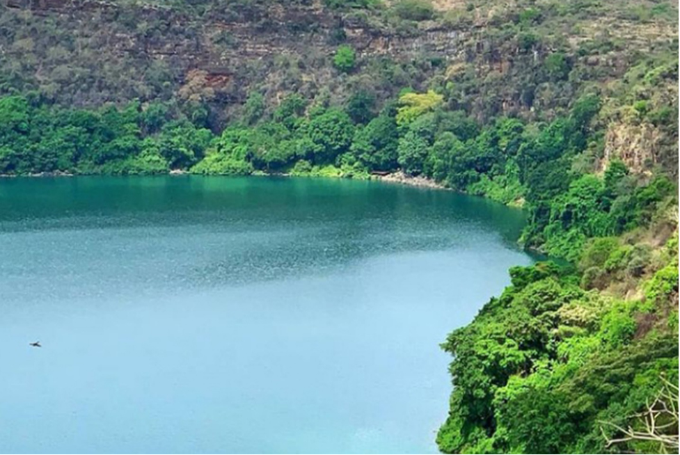
On our way to Taveta, we will take a detour to Lake Chala, one lake shared by Kenya and Tanzania. The boundary is believed to divide the lake into approximately two halves. It is a crater lake in a caldera at the border between Tanzania and Kenya. Lake Chala was measured at a depth of 95 meters, which makes it deeper than famous Lake Victoria. Filled and drained by underground waters, the lake ranges in color from deep blue to turquoise and green. The lake is believed to have formed approximately 250,000 years ago. The lake is east of Mount Kilimanjaro, 8 kilometers north of Taveta, Kenya.
After a view of the mirror to Mount Kilimanjaro, we will head to Taveta town, where we will freshen up, relax and spend the night at Challa hotel.
Early in the morning after breakfast, we will head north of Taveta to Voi through Tsavo West national Park. From Taveta all the way to Voi is a smooth tarmac road, passing through the park. Riding here is always amazing. The smooth road, and the views of the wildlife on the roadsides are breath taking. You’ll have a the opportunity to spot giraffes, gazelles, zebras, elephants and wild beasts in Tsavo west national park, as they graze and cross the road from one side to the other. In Voi, we will feel up with gas, and join the Nairobi Mombasa highway to Samburu, located 96 kilometers southwest of Voi. At Samburu, we will leave the main highway and branch off south to Kinango. The twisty road through the villages is smooth and awesome to ride on. The views of the Swahili culture, in Kwale county are good to look at.
Kinango is a small center in Kinango Constituency in Kwale County. It is one of the busy hubs in Kwale County, acting as a very important transportation node. Traffic, especially tourists from Voi to Shimba hills pass through here, pushing for its growth over time. Kinango is majorly inhabited by the Duruma and Digo clans, who have lived here for more than a century. However, a considerable percentage of the Kamba people is also present as a result of internal migration.
A short stop for refreshments in Kinango will come in handy to allow us to stretch a little bit, before proceeding to Kwale town. We will be riding on another dirt road, passing alongside Shimba hills, which is one of the famous forests in the coastal areas, after the Arabuko Sokoke forest.
From Kwale town, we will head to Diani. The stretch is congested, with vehicles and three wheelers, who in most cases disregard traffic rules. You will therefore be required to be extra careful to avoid any accidents, which may be caused by other drivers’ ignorance.
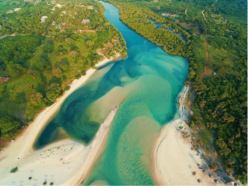
Upon arrival in Diani, we will have a quick lunch at the Coast Dishes Hotel. They have great food, both local and foreign, which you’ll need to try on your last day of the adventure. Afterwards, will ride to Kongo River along Diani beaches, one of the most beautiful beaches in Africa. It is one of the main rivers feeding its water into the Indian Ocean, the Kongo River. It is one of the kind in the south Coast, with its origins rooted in Shimba Hills. The estuary is beautiful, providing an excellent sandy beach good for relaxation.
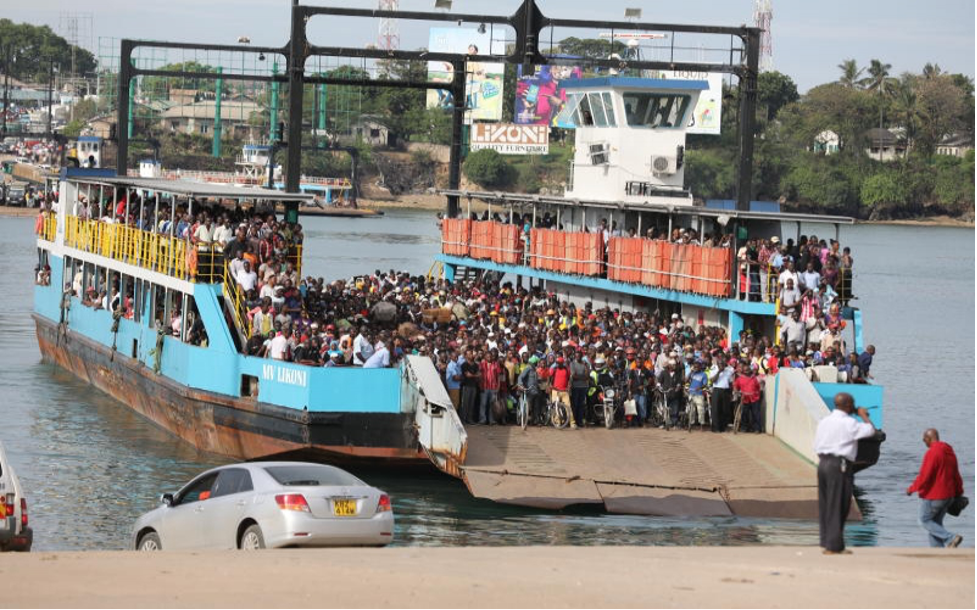
After a wash and probably a swim in the clear waters of Kongo River, we will hop on our bikes again and head to Mombasa, a distance of about 50 kilometers. We will cross over to the Island via a ferry, operated by Kenya Ferry Services. You will be experience the rush hour hustle experienced at the ferry station, between vehicles, motorcycles and people who are always in a hurry to cross over to either sides.
From the ferry, we will ride to our offices in Mombasa, through Mombasa town CBD. As a culture, we will pass through Pembe za Ndovu, one of the unique features of the city of Mombasa. We will take a group photo while standing at the location, marking the end of our five day tour. After a photoshoot, we will drop the bikes off at AMT Motorcycles offices in Nyali, Mombasa.
This adventure package is for those who would like to go on a riding spree, feel the wind quickly passing over their helmets and shoulders, while enjoying the great views of the landscape. After the four days, you would have experienced a therapeutic session that you would not get by sitting in a shrink’s office.
NOTE: The hotel reservations are subject to change based on availability.
Package cost: $1,800 (Inclusive of meals, accommodation, and gas and park entry fees.) Excludes tips, drinks and donations).
Special Discounts
When in groups, a special discount on the total tour cost will be given as follows:
A group of two, three and four – 10% discount
A group of more than five – 15% discount